Zoning Information
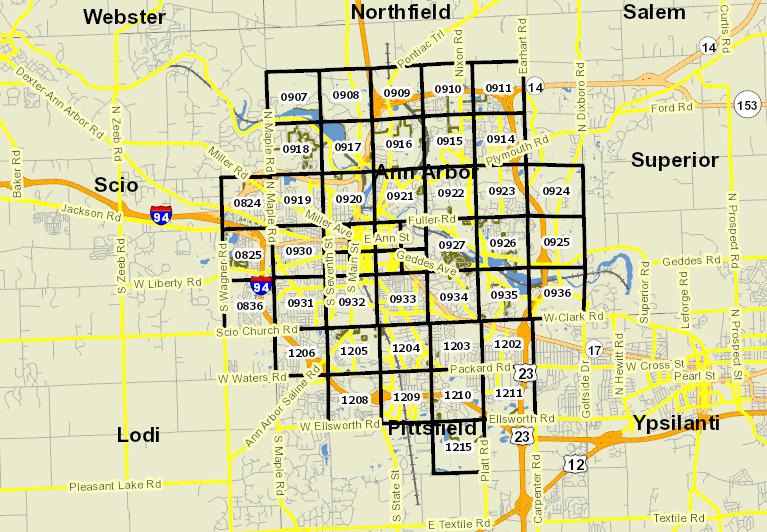
Using the
Dynamic Map, you may search by address. You can also pan and zoom around the map at any point for greater detail.
 Records
For parcel zoning designations. Enter some or all of the address in the search string, then click on the appropriate parcel record.
Zoning District Key
Residential Districts
|
|---|
AG
| Agriculture-Open Space
|
R1A - E
| Single-Family Dwelling
|
R2A
| Two-Family Dwelling
|
R2B
| Two-Family Dwelling and Student Housing
|
R3
| Townhouse Dwelling
|
R4A-E
| Multiple-Family Dwelling
|
R6
| Mobile Home Park
|
Mixed Use Districts
|
O
| Office
|
C1
| Local Business
|
C1A
| Campus Business
|
C1B
| Community Convenience Center
|
C1A/R
| Campus Business Residential
|
D1
| Downtown Core
|
D2
| Downtown Interface
|
C2B
| Business Service
|
C3
| Fringe Commercial
|
TC1
| Transit Corridor
|
Nonresidential and Special Purpose Districts
|
R5
| Hotel
|
P
| Parking
|
PL
| Public Land
|
RE
| Research
|
ORL
| Office/Research/Light Industrial
|
M1
| Limited Industrial
|
M1A
| Limited Light Industrial
|
M2
| Heavy Industrial
|
PUD
| Planned Unit Development
|